Cities Skylines Strategy of City Planning
If you’re in the game for a while then you are probably done with the cities made of grids. However, it’s not easy to stop doing grids right away. For me, it’s because Cities Skylines grid layout is easy and fast to build. Also, I have a feeling that I’m using space in the smartest way. But sometimes at the end of the day, I’m thinking that I should have been more creative and less lazy.
So, that’s a Cities Skylines city layout guide that should give you some thoughts on building a nice-looking functional city that is made of not only grids.
How to Plan a City in Cities Skylines
Your Cities Skylines layout planning should start when the game begins. Even when you have only one square unlocked you should start thinking about what tile will be unlocked next and why. You should define your goals and the sequence of reaching them.
The map has some anchors which will be used by you for this or that object, zone, or district. So, what are the factors you should consider in the beginning?

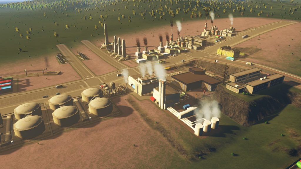
- The highway. Its location on the map defines how your city will be connected to the main external arteria. Don’t forget about the principle of the road hierarchy which means that having a plan for the highway you should plan avenues, streets, and so on. Also, the location of the highway is important for defining where it’s better to place your industries.
- Speaking of industries, in the beginning, you should figure out where are the places that have rich deposits of raw materials for your industries. You shouldn’t plan a residential area next to a huge oil field. This means you should keep this in mind when doing Cities Skylines planning your future expansion.
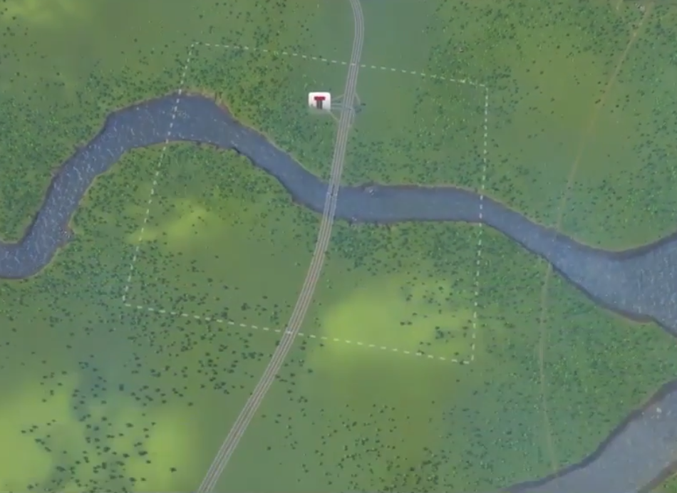
- Railway connection. You should find where it enters your city in order to plan your future railway junctions. Keep in mind that both cargo and passenger trains will arrive through the same line. You need to divide lines right after the railroad entrance and this may need space. Also, you need to think about rivers crossing, good places for central stations, and how you’re going to accept incoming tourists to keep control over tourist traffic.
- Naval connection. On the vast majority of maps, you have a waterfront with the ability to build a naval terminal. Pretty often it requires some specific place to be built and remain connected to the line so you need to plan this well. Also, in most cases, you will want to have near your industrial zones and cargo railroad. Thus hardly you will want this next to your tourist area, old town or residential area.
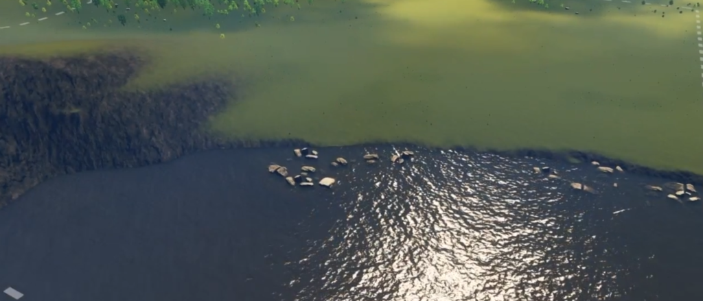
- Interesting landmarks. Some maps have shipwrecks, lighthouses, destroyed castles, and some nature landmarks such as rocks, caves, and so on. Most likely you will want to have a park there which is better to located next to residential, commercial and office areas.
- A flat area for the international airport. Sure you will want to build one but there are some maps that don’t have too many flat areas. And the airport requires serious connections to keep functioning properly. I usually place a transport hub next to it, so that’s why I’m looking for a place even before building my first structure in this game.
- Water objects for the marina, parks, and channels. Sure in most cities you would want to have an elite waterfront with restaurants, a promenade, and some unique buildings. I usually detect such places in advance to avoid placing sewage next to this blessed shore.
So, having a look at an empty map you already can create a plan of expansion. Add to this the following rules of cities skylines zoning layout and you will have an even clearer plan:
- Industrial areas should not have borders with residential zones and parks. The best option is to place offices between these.
- Residential areas also don’t like sound pollution so use roads with trees and don’t place housing next to ports, railroad stations, and so on.
- Parks receive a lot of visitors when they’re placed on the way of numerous pedestrians. Basically, this means between a residential and a commercial area.
- Don’t overuse zones of the same kind placed in advance. This usually ends up with a lot of shops that don’t have enough goods to sell or lack workers.
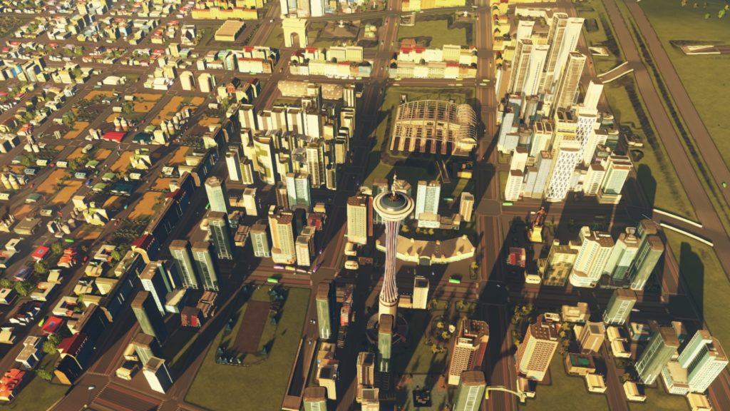
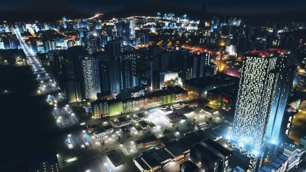
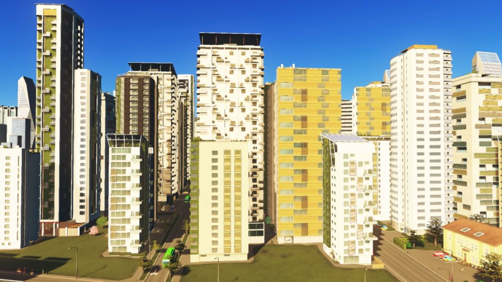
Cities Skylines Downtown Layout
All this data will let you understand the future scheme of your city. And sure you need to decide where to place your downtown.
What are the distinctive features of the downtown?
- It’s a center of interest. There you should have the vast majority of unique buildings, parks, educational establishments.
- As a result, it has heavy traffic. You need to plan good public transport and avoid industrial traffic to go through your downtown. Placing some hubs is advised.
- It has the highest land value so shouldn’t place any structures that may harm land value (e.g. garbage processing plant and so on)
- If it’s a map with a shore then most likely it will be some nice part of the coast.
- It shouldn’t consist of too much zoning of one type. Imagine that it consists of commercial districts only and all of your delivery trucks are heading downtown to supply your shops.
Cities Skylines Planning Tips
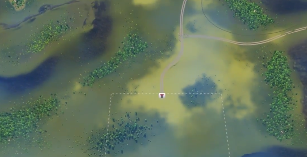
So, you know what parts of the map are reserved for different districts. But how to get rid of the grid and build a realistic city? Well, I have some advice here. Remember the anchors? Your terrain has ones as well. And so you need to make full use of them as it happens in real cities. Here are some Cities Skylines layout tips on what to use as an anchor:
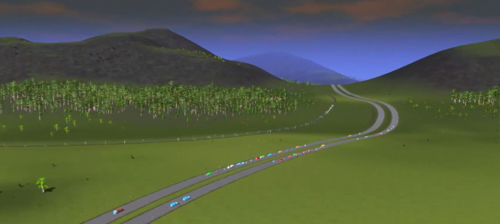
- Hills are a good place for some elite low-density residential areas with curvy roads. Remember that the speed of vehicles depends on the angles of your road. Also, there can be some beautiful road to a landmark or park placed on the top of the hill with a cable car station.
- Forests may be used for industry or for natural parks. Keeping the default piece of forest, integrating it into the city environment, and adding some footpaths may be a good idea for a part.
- Rivers may define the angle of your roads thanks to the river bank form, and sure every next street may repeat the angle.
- A lake may be surrounded by a ring road that provides your citizens with access to the waterfront, fishing points, or a natural park with kayaks.
- Usually, a city is a set of districts that are often divided by channels, railroads, highways, and so on. Sometimes it’s not a convenient place for building but you won’t want to leave it as it is. Such lands may be turned into parks with roads for bikes and pedestrians or simply get a lot of trees there.
- Don’t be lazy and use different shapes of blocks, place curvy roads, and switch styles.
- Accept that you probably won’t get rid of the grid completely. That’s okay, it still exists in real cities and probably is the smartest way to utilize free space. So, it’s possible that you have a grid on the flat surface and some curvy patterns on the hills surrounding your downtown.
- The best way to overcome your laziness is to get a map with a very limited amount of flat surface. You will be forced to adapt and think of how to utilize the limited options you have.
And one of the best Cities Skylines city planning tips in the end: don’t focus too much on how your city looks from above. It’s much more important that it’s a functional city that was built step by step with a creative approach!